Category:Queen Maud Mountains
major feature group in the Transantarctic Mountains  | |||||
| Upload media | |||||
| Instance of | |||||
|---|---|---|---|---|---|
| Named after | |||||
| Location | Antarctic Treaty area | ||||
| Mountain range | |||||
| Highest point |
| ||||
| Area |
| ||||
| Elevation above sea level |
| ||||
 | |||||
Media in category "Queen Maud Mountains"
The following 17 files are in this category, out of 17 total.
-
 Albert I Land IMG 5952 Dronning Mauds Fjell Öyenbreen.JPG 3,320 × 1,227; 1.59 MB
-
 Albert I Land IMG 5953 Dronning Mauds Fjell Öyenrabben.JPG 3,329 × 1,031; 1.39 MB
-
 Axel Heiberg Glacier - Antarctica.JPG 2,353 × 2,273; 6.1 MB
-
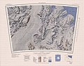
 C84165s1 Ant.Map Shackleton Glacier.jpg 5,288 × 3,752; 5.44 MB
-
 C84180s1 Ant.Map The Cloudmaker.jpg 3,265 × 2,593; 2.99 MB
-
 C85150s1 Mount Goodale.jpg 3,844 × 3,240; 1.65 MB
-
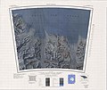
 C85165s1 Ant.Map Liv Glacier.jpg 4,210 × 3,241; 1.84 MB
-
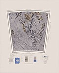 C86150s1 Ant.Map Nilsen Plateau.jpg 4,032 × 4,948; 3.79 MB
-
 Le Tour du monde, nouvelle série-19-p079a.jpg 1,886 × 1,358; 641 KB
-
 Le Tour du monde, nouvelle série-19-p089.jpg 1,292 × 1,472; 460 KB
-
 Le Tour du monde, nouvelle série-19-p093.jpg 1,884 × 1,174; 669 KB
-
 Le Tour du monde, nouvelle série-19-p097a.jpg 1,872 × 1,170; 855 KB
-
 Le Tour du monde, nouvelle série-19-p098.jpg 1,352 × 970; 606 KB
-
 Le Tour du monde, nouvelle série-19-p100.jpg 1,344 × 958; 457 KB
-
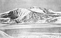
 MountFridtjofNansenAntarctica.jpg 1,808 × 1,086; 883 KB
-
 No-nb bldsa 3e087.jpg 3,556 × 2,208; 2.21 MB
-
 Transantarctic Mountains Queen Maud.png 11,033 × 14,526; 110.35 MB


