
Bu fayl Vikianbarda yerləşir. Açıqlama səhifəsindəki məlumatlar aşağıda göstərilib. Vikianbar azad lisenziyalı media anbarıdır. Siz də töhfə verə bilərsiniz. |
Xülasə
| İzah |
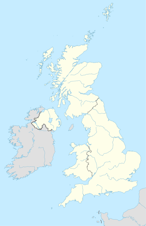
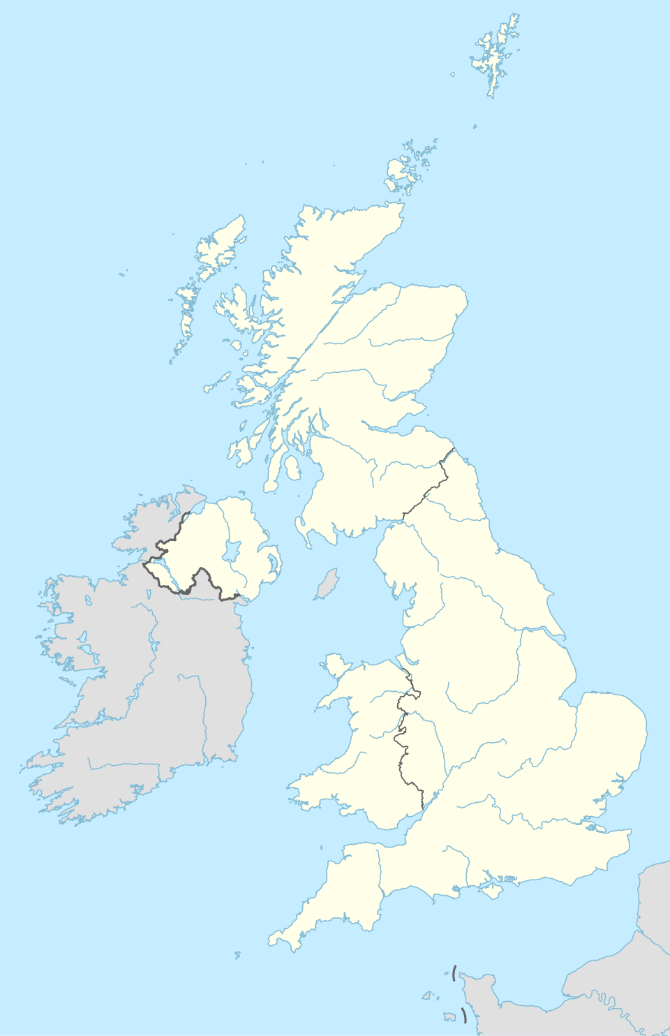
Deutsch: Positionskarte des Vereinigten Königreichs
English: Location map of the United Kingdom
|
||||||||||||
| Tarix | |||||||||||||
| Mənbə |
Own work using:
a. this product was developed using materials from the United States National Imagery and Mapping Agency and are reproduced with permission. b. this product has neither been endorsed nor authorized by the United States National Imagery and Mapping Agency or the United States Department of Defense.
|
||||||||||||
| Müəllif | NordNordWest | ||||||||||||

|
Bu xəritə alman Kartenwerkstatt tərəfindən yaxşılaşdırılmışdir. Siz həmçinin tələb olunan digər xəritələri də təklif edə bilərsiniz.
|
Lisenziya
Usage of this file with:

explanatory notes: Legally binding is only the full legalcode. For a free usage I recommend to respect the following licence conditions:
1. Provide my name as given above: NordNordWest,
2. a copy of, or the URI for, the applicable license: https://creativecommons.org/licenses/by-sa/3.0/de/legalcode,
3. the title of the work,
4. in the case of an adaptation, a credit identifying the use of the work in the adaptation.
This license and the rights granted hereunder will terminate automatically upon any breach by you of the terms of this license. Any of the above conditions can be waived if you get permission from the copyright holder. If you have questions or wish differing conditions, please contact me through nnwest or my discussion page ![]() t-online.de
t-online.de
- Siz heç bir məhdudiyyət olmadan:
- paylaşa bilərsiniz – əsəri köçürə, paylaya və ötürə bilərsiniz
- remiks edə bilərsiniz – əsəri adaptasiya edə bilərsiniz
- Aşağıdakı şərtlərə əməl etməklə:
- istinad vermək – Müvafiq istinad verməli, lisenziyaya keçid əlavə etməli və dəyişikliklər edilib-edilmədiyini bildirməlisiniz . Siz bunu istənilən şəkildə edə bilərsiniz, lakin lisenziya verənin sizə şəxsən icazə verdiyini göstərən formada yox.
- bənzər paylaşma – Əsəri remix edirsinizsə, dəyişdirirsinizsə və ya üzərində iş aparırsınızsa, öz töhfələrinizi orijinalda olduğu kimi eyni və ya uyğun lisenziya altında yayımlamalısınız.
Faylın tarixçəsi
Faylın əvvəlki versiyasını görmək üçün gün/tarix bölməsindəki tarixlərə klikləyin.
| Tarix/Vaxt | Miniatür | Ölçülər | İstifadəçi | Şərh | |
|---|---|---|---|---|---|
| hal-hazırkı | 20:13, 28 aprel 2015 | | 886 × 1.369 (703 KB) | NordNordWest | == {{int:filedesc}} == {{Information |Description= {{de|1=Positionskarte des Vereinigten Königreichs}} {{en|1=Location map of the United Kingdom}} {{Location map series N |stretching=170 |top=61.0 |bottom=49.0 |left=-11.0 |right=2.2 }} |Source={{Own u... |
Faylın istifadəsi
100+ səhifə bu fayldan istifadə edir. Aşağıdakı siyahı yalnız bu faylı istifadə edən ilk 100 səhifəni göstərir. Tam siyahı burada mövcuddur.
- 2012 Yay Olimpiya Oyunlarında futbol
- Aberdin
- Adamstaun
- Alloa
- Barmullox
- Bat (İngiltərə)
- Bazildon
- Belfast
- Bersden
- Birminhem
- Bişopbriqqs
- Blekbörn
- Blekpul
- Bornmut
- Bredford
- Breyds (Montserrat)
- Bristol
- Ceymstaun (Müqəddəs Yelena adası)
- Corctaun (Aksenson adası)
- Dadli
- Dalkit
- Damfris
- Dandi
- Derbi
- Derri
- Duvr
- Edinburq
- Elqin
- Eyr şəhəri
- Folkirk
- Forfar
- Göl bölgəsi
- Haddersfild
- Haddinqton
- Hamilton (Şotlandiya)
- Haygeyt qəbiristanlığı
- Holland parkı (London)
- Kardiff
- Kayman adaları
- Kembric
- Kilmarnok
- Kinqston-apon-Hall
- Kirkintillox
- Kirkvol
- Kobern-Taun
- Koventri
- Kral Opera Teatrı
- Krouli
- Kroydon
- Kyu kral botanika bağları
- Lervik
- Lester
- Lids
- Liverpul
- Livinqston (Şotlandiya)
- London
- Lox Ness
- Loxqilpxed
- Luton
- Mançester
- Mazervell
- Midlsbro
- Milton-Kins
- Noric
- Northempton
- Nottinqem
- Nyukasl-apon-Tayn
- Nyuport
- Nyutaun Sent Bosvels
- Nəhənglər keçidi
- Oksford
- Pert (Şotlandiya)
- Peysli
- Plimut
- Portsmut
- Preston
- Pul (İngiltərə)
- Qiffnok
- Qlazqo
- Qlenrots
- Qrinok
- Razerqlen
- Redinq
- Roud Taun
- Sanderlend
- Sautend-on-Si
- Sauthempton
- Siti-of-Solford
- Stirlinq
- Stok-on-Trent
- Stornavey
- Suonsi
- Svindon
- Torki
- Uolsoll
- Vulverhempton
- York
- Örvin
- İnverness
- İst-Kilbrayd
Bu fayla verilmiş keçidlərə baxın.
Faylın qlobal istifadəsi
Bu fayl aşağıdakı vikilərdə istifadə olunur:
- ab.wikipedia.org layihəsində istifadəsi
- af.wikipedia.org layihəsində istifadəsi
- als.wikipedia.org layihəsində istifadəsi
- an.wikipedia.org layihəsində istifadəsi
- Londres
- Oxford
- Bristón
- Seu de Bristón
- Muro d'Hadrián
- Seu de Saint Albans
- Castiello de Dintagell
- Aeropuerto de Londres-Stansted
- Birmingham
- Blackburn
- Bolton
- Liverpool
- Manchester
- Newcastle upon Tyne
- Norwich
- Stoke-on-Trent
- Sunderland
- Abertawe
- Castiello de Windsor
- Seu de Sant Pavlo de Londres
- Cambridge
- Llanfairpwllgwyngyllgogerychwyrndrobwllllantysiliogogogoch
- Estadio de White City
- Plantilla:Mapa de localización Reino Uniu
- Saint-Pierre-Port
- Saint-Hélier
- Doolish
- Caerdydd
- Southampton
- York
- Leeds
- Sheffield
- Leicester
- Coventry
- Casnewydd
- Bradford
- Kingston upon Hull
Bu faylın qlobal istifadəsinə baxın.