Bu fayl Vikianbarda yerləşir. Açıqlama səhifəsindəki məlumatlar aşağıda göstərilib. Vikianbar azad lisenziyalı media anbarıdır. Siz də töhfə verə bilərsiniz. |
Xülasə
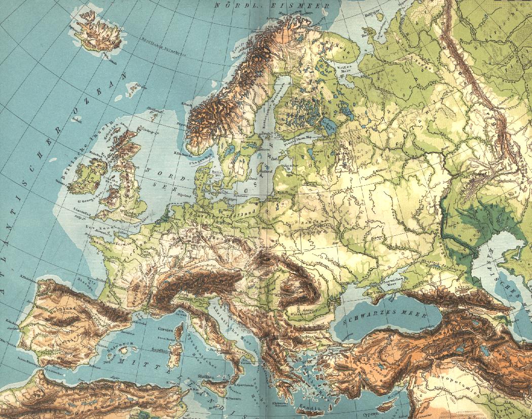
| İzah | Carte géographique de l'Europe. Scan de Diercke Schul-Atlas für Höhere Lehranstalten de 1907 par Yann. Voir aussi fr:Image:Europe geographique.jpg et fr:Catégorie:Cartes d'Europe |
| Tarix | Commons upload by Shizhao 06:34, 24 May 2006 (UTC) |
| Mənbə |
Originally from fr.wikipedia; description page is (was) here
|
| Müəllif | User Yann on fr.wikipedia |
Lisenziya
This file is in the public domain because it is a mere mechanical scan or photocopy of a public domain original, or – from the available evidence – is so similar to such a scan or photocopy that no copyright protection can be expected to arise. The original itself is in the public domain for the following reason:
This tag is designed for use where there may be a need to assert that any enhancements (eg brightness, contrast, colour-matching, sharpening) are in themselves insufficiently creative to generate a new copyright. It can be used where it is unknown whether any enhancements have been made, as well as when the enhancements are clear but insufficient. For known raw unenhanced scans you can use an appropriate {{PD-old}} tag instead. For usage, see Commons:When to use the PD-scan tag. | ||||
Faylın tarixçəsi
Faylın əvvəlki versiyasını görmək üçün gün/tarix bölməsindəki tarixlərə klikləyin.
| Tarix/Vaxt | Miniatür | Ölçülər | İstifadəçi | Şərh | |
|---|---|---|---|---|---|
| hal-hazırkı | 06:34, 24 may 2006 | | 1.050 × 828 (271 KB) | Shizhao | {{Information| |Description= == Description == Carte géographique de l'Europe les pays qui rentre a l union ou 1957 jusqua 2004 == Source == Scan de ''Diercke Schul-Atlas für Höhere Lehranstalten'' de 1907 par Yann. Voir aus |
Faylın istifadəsi
Bu faylı istifadə edən səhifə yoxdur (digər layihələrdəki səhifələr göstərilmir).
Faylın qlobal istifadəsi
Bu fayl aşağıdakı vikilərdə istifadə olunur:
- fr.wikiversity.org layihəsində istifadəsi
- ro.wikipedia.org layihəsində istifadəsi