Daha yüksək versiyası yoxdur.
Continental-Europe-map.png (415 × 422 piksel, fayl həcmi: 14 KB, MIME növü: image/png)
Bu fayl Vikianbarda yerləşir. Açıqlama səhifəsindəki məlumatlar aşağıda göstərilib. Vikianbar azad lisenziyalı media anbarıdır. Siz də töhfə verə bilərsiniz. |
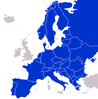
A map of Continental Europe.
| Mən, bu əsərin müəllif hüquqlarının sahibi kimi, əsəri ictimai mülkiyyətə buraxıram. Bu icazə bütün dünyada qüvvədədir. In some countries this may not be legally possible; if so: Mən hər kəsə bu əsərdən hər hansı bir məqsəd üçün, heç bir şərt olmadan, qanunla belə şərtlər tələb olunmadığı təqdirdə istifadə etmək hüququnu verirəm. |
derivative works
Derivative works of this file: Kontinentet.png

|
File:Continental Europe map.svg is a vector version of this file. It should be used in place of this PNG file when not inferior.
File:Continental-Europe-map.png → File:Continental Europe map.svg
For more information, see Help:SVG. |
 |
Faylın tarixçəsi
Faylın əvvəlki versiyasını görmək üçün gün/tarix bölməsindəki tarixlərə klikləyin.
| Tarix/Vaxt | Miniatür | Ölçülər | İstifadəçi | Şərh | |
|---|---|---|---|---|---|
| hal-hazırkı | 20:40, 25 avqust 2025 | | 415 × 422 (14 KB) | Ruach Chayim | Reverted to version as of 10:18, 27 September 2008 (UTC) Kosovo is neutral |
| 22:33, 6 yanvar 2025 |  | 415 × 422 (10 KB) | FireBreathMan | Reverted to version as of 10:06, 16 September 2008 (UTC) | |
| 01:47, 8 sentyabr 2023 |  | 415 × 422 (12 KB) | Sariyr | Exit Vendsyssel-Thy (Denmark) | |
| 08:06, 18 iyul 2009 |  | 415 × 422 (14 KB) | Hoshie | redid Kosovo/Montenegro borders based on Cradel's older map; anti-alasing has been removed. | |
| 10:18, 27 sentyabr 2008 |  | 415 × 422 (14 KB) | Hoshie | readded Kosovo in a different way. See talk. | |
| 03:18, 25 sentyabr 2008 |  | 415 × 422 (14 KB) | Hoshie | added Montenegro and fix the tripoint between Albania, Serbia/Kosovo and Montenegro | |
| 15:40, 16 sentyabr 2008 |  | 415 × 422 (10 KB) | Tocino | Reverted to version as of 00:00, 16 September 2008 | |
| 10:06, 16 sentyabr 2008 |  | 415 × 422 (10 KB) | Cradel | Reverted to version as of 20:45, 15 September 2008 | |
| 00:00, 16 sentyabr 2008 |  | 415 × 422 (10 KB) | Tocino | Reverted to version as of 17:25, 15 September 2008 | |
| 20:45, 15 sentyabr 2008 |  | 415 × 422 (10 KB) | Cradel | Reverted to version as of 11:56, 14 September 2008 |
Faylın istifadəsi
Bu faylı istifadə edən səhifə yoxdur (digər layihələrdəki səhifələr göstərilmir).
Faylın qlobal istifadəsi
Bu fayl aşağıdakı vikilərdə istifadə olunur:
- de.wikipedia.org layihəsində istifadəsi
- en.wikipedia.org layihəsində istifadəsi
- pl.wikipedia.org layihəsində istifadəsi