Butun axtardiqlarinizi tapmaq ucun buraya: DAXIL OLUN
  Mp4 Mp3 Axtar Yukle
  Video Axtar Yukle
  Shekil Axtar Yukle
  Informasiya Melumat Axtar
  Hazir Inshalar Toplusu
  AZERI CHAT + Tanishliq
  Saglamliq Tibbi Melumat
  Whatsapp Plus Yukle(Yeni)

  • Ana səhifə
  • Təsadüfi
  • Yaxınlıqdakılar
  • Daxil ol
  • Nizamlamalar
İndi ianə et Əgər Vikipediya sizin üçün faydalıdırsa, bu gün ianə edin.
Birthday mode (Baby Globe) settings

Fayl:AltynDepeMap.jpg

  • Fayl
  • Müzakirə
  • Fayl
  • Faylın tarixçəsi
  • Faylın istifadəsi
  • Faylın qlobal istifadəsi
Fayl:AltynDepeMap.jpg
Sınaq göstərişi ölçüsü: 776 × 600 piksel. Digər ölçülər: 311 × 240 piksel | 621 × 480 piksel | 994 × 768 piksel | 1.188 × 918 piksel.
Faylın orijinalı (1.188 × 918 piksel, fayl həcmi: 62 KB, MIME növü: image/jpeg)
Bu fayl Vikianbarda yerləşir. Açıqlama səhifəsindəki məlumatlar aşağıda göstərilib.
Vikianbar azad lisenziyalı media anbarıdır. Siz də töhfə verə bilərsiniz.
This locator map image could be re-created using vector graphics as an SVG file. This has several advantages; see Commons:Media for cleanup for more information. If an SVG form of this image is available, please upload it and afterwards replace this template with {{vector version available|new image name}}.
It is recommended to name the SVG file “AltynDepeMap.svg”—then the template Vector version available (or Vva) does not need the new image name parameter.
This locator map image was uploaded in the JPEG format even though it consists of non-photographic data. This information could be stored more efficiently or accurately in the PNG or SVG format. If possible, please upload a PNG or SVG version of this image without compression artifacts, derived from a non-JPEG source (or with existing artifacts removed). After doing so, please tag the JPEG version with {{Superseded|NewImage.ext}} and remove this tag. This tag should not be applied to photographs or scans. If this image is a diagram or other image suitable for vectorisation, please tag this image with {{Convert to SVG}} instead of {{BadJPEG}}. If not suitable for vectorisation, use {{Convert to PNG}}. For more information, see {{BadJPEG}}.
İzahAltynDepeMap.jpg
English: Map of the cultural zones in the Middle East during Eneolithic.
Tarix 4 may 2007
Mənbə Öz işi, and
Müəllif Kosigrim at ingilis Vikipediya
İcazə
(Faylın təkrar istifadəsi)
Public domainPublic domainfalsefalse
Public domain This work has been released into the public domain by its author, Kosigrim at ingilis Vikipediya. This applies worldwide.
In some countries this may not be legally possible; if so:
Kosigrim grants anyone the right to use this work for any purpose, without any conditions, unless such conditions are required by law.Public domainPublic domainfalsefalse

Orijinal yükləmə gündəliyi

The original description page was here. All following user names refer to en.wikipedia.
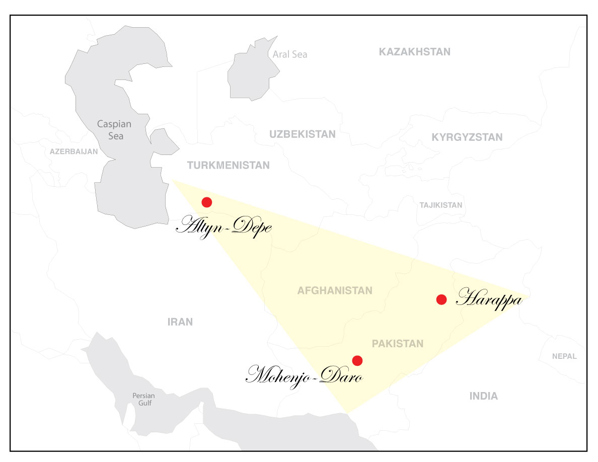
  • 2007-05-04 18:31 Kosigrim 1188×918× (63571 bytes) Map of the cultural zones in the [[Middle East]] during [[Eneolithic]].

Başlıqlar

Bu faylın nəyi təmsil etdiyinə dair bir sətirlik izahat əlavə et

Bu faylda təsvir olunan elementlər

təsvir edir

müəlliflik hüququ statusu

müəllif hüquqları ilə qorunur, lakin müəllif hüquqlarının sahibi tərəfindən ictimai istifadəyə verilmişdir

lisenziya

released into the public domain by the copyright holder ingilis

yaranma tarixi

4 may 2007

media type ingilis

image/jpeg

checksum ingilis

d915662c5e1796e4298369eea93a1ca9fcb50a45

təyinetmə üsulu: SHA-1

datanın ölçüsü

63.571 Bayt

hündürlüyü/boyu

918 piksel

eni

1.188 piksel

Faylın tarixçəsi

Faylın əvvəlki versiyasını görmək üçün gün/tarix bölməsindəki tarixlərə klikləyin.

Tarix/VaxtMiniatürÖlçülərİstifadəçiŞərh
hal-hazırkı11:50, 1 aprel 201411:50, 1 aprel 2014 tarixindəki versiyanın miniatür görüntüsü1.188 × 918 (62 KB)Taiwania JustoTransferred from en.wikipedia

Faylın istifadəsi

Bu faylı istifadə edən səhifə yoxdur (digər layihələrdəki səhifələr göstərilmir).

Faylın qlobal istifadəsi

Bu fayl aşağıdakı vikilərdə istifadə olunur:

  • ar.wikipedia.org layihəsində istifadəsi
    • آلتين تبه
  • be.wikipedia.org layihəsində istifadəsi
    • Алтын-Дэпэ
  • el.wikipedia.org layihəsində istifadəsi
    • Αρχαιολογικό Σύμπλεγμα Βακτρίας-Μαργιανής
  • en.wikipedia.org layihəsində istifadəsi
    • Bactria–Margiana Archaeological Complex
    • Altyndepe
  • eo.wikipedia.org layihəsində istifadəsi
    • Altin-Depe
  • fa.wikipedia.org layihəsində istifadəsi
    • آلتین‌تپه
  • it.wikipedia.org layihəsində istifadəsi
    • Altin Tepe
  • pt.wikipedia.org layihəsində istifadəsi
    • Usuário(a):Bafuncius/Rascunho 2
    • Cultura Arqueológica Báctria–Margiana
  • ru.wikipedia.org layihəsində istifadəsi
    • Намазга-Тепе
  • sl.wikipedia.org layihəsində istifadəsi
    • Arheološki kompleks Baktrija-Margiana
  • ta.wikipedia.org layihəsində istifadəsi
    • பாக்திரியா-மார்கியானா தொல்லியல் வளாகம்
  • tr.wikipedia.org layihəsində istifadəsi
    • Altıntepe, Türkmenistan
  • uk.wikipedia.org layihəsində istifadəsi
    • Намазга-Тепе
  • zh.wikipedia.org layihəsində istifadəsi
    • 巴克特里亞·馬爾吉阿納文明體
Mənbə — "https://az.wikipedia.org/wiki/Fayl:AltynDepeMap.jpg"
Informasiya Melumat Axtar