Sınaq göstərişi ölçüsü: 800 × 391 piksel. Digər ölçülər: 320 × 156 piksel | 640 × 313 piksel | 1.024 × 500 piksel.
Faylın orijinalı (1.024 × 500 piksel, fayl həcmi: 35 KB, MIME növü: image/png)
Bu fayl Vikianbarda yerləşir. Açıqlama səhifəsindəki məlumatlar aşağıda göstərilib. Vikianbar azad lisenziyalı media anbarıdır. Siz də töhfə verə bilərsiniz. |
Xülasə
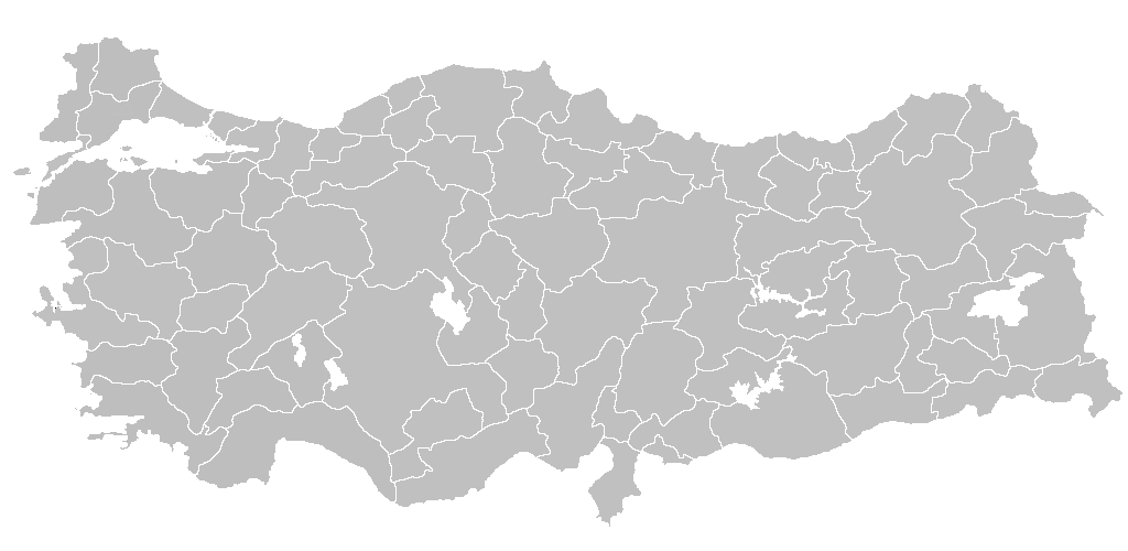
| İzah | Blank map of Republic of Turkey's provinces. The regions are carefully separated on per pixel basis and ready for filling in with a paint tool. |
| Tarix | |
| Mənbə | Self drawn from scratch, based on data from official Turkish motorway network map |
| Müəllif | Atilim Gunes Baydin |
| İcazə (Faylın təkrar istifadəsi) |
I grant permission for anyone to use this under the terms of GFDL license, see below |
| Digər versiyalar | Derivative works of this file: Secim2009Turkey.png and File:Ali Galip landing map.png |
Lisenziya
I, the copyright holder of this work, hereby publish it under the following licenses:

|
Bu sənədi GNU Azad Sənədləşdirmə Lisenziyası, Versiya 1.2 və ya Azad Proqram Fondu tərəfindən nəşr olunan hər hansı sonrakı versiya şərtlərinə əsasən dəyişməz bölmələr, ön qapaq mətnləri və arxa qapaq mətnləri olmadan köçürmək, yayımlamaq və / və ya dəyişdirmək üçün icazə verilir; Lisenziyanın bir nüsxəsi GNU Azad Sənədləşdirmə Lisenziyası adlı hissəyə daxil edilmişdir. |
| Bu fayl Creative Commons Attribution-Share Alike 3.0 Unported lisenziyası altında yayımlanır. | ||
| ||
| This licensing tag was added to this file as part of the GFDL licensing update. |
İstədiyiniz lisenziyanı seçə bilərsiniz.

|
File:Turkey provinces blank gray.svg is a vector version of this file. It should be used in place of this PNG file when not inferior.
File:BlankMapTurkeyProvinces.png → File:Turkey provinces blank gray.svg
For more information, see Help:SVG. |
 |
Faylın tarixçəsi
Faylın əvvəlki versiyasını görmək üçün gün/tarix bölməsindəki tarixlərə klikləyin.
| Tarix/Vaxt | Miniatür | Ölçülər | İstifadəçi | Şərh | |
|---|---|---|---|---|---|
| hal-hazırkı | 20:40, 25 aprel 2013 | | 1.024 × 500 (35 KB) | Maurice07 | Added Bozcaada and some islands on Marmara Sea |
| 22:14, 18 fevral 2007 |  | 1.024 × 500 (23 KB) | AtilimGunesBaydin | Removed Samothraki, which was accidentally included. I'm sorry for the mistake. | |
| 16:46, 22 dekabr 2006 |  | 1.024 × 500 (23 KB) | AtilimGunesBaydin | Slight resize. | |
| 21:51, 21 dekabr 2006 |  | 1.024 × 499 (23 KB) | AtilimGunesBaydin | {{Information |Description=Blank map of Republic of Turkey's provinces |Source=Drawn from scratch on based on data from [http://www.kgm.gov.tr/images/trkh-yeni1.jpg official Turkish motorway network map] |Date=December 21, 2006 |Author=[[:e |
Faylın istifadəsi
Bu faylı istifadə edən səhifə yoxdur.
Faylın qlobal istifadəsi
Bu fayl aşağıdakı vikilərdə istifadə olunur:
- ba.wikipedia.org layihəsində istifadəsi
- dtp.wikipedia.org layihəsində istifadəsi
- en.wikipedia.org layihəsində istifadəsi
- List of largest cities and towns in Turkey
- Provinces of Turkey
- Portal:Turkey
- Government of Turkey
- Portal:Turkey/Provinces
- Template:Turkey Labelled Map
- Administrative divisions of Turkey
- Turkey
- Talk:Ethnic groups in Europe/Archive 2
- Turkish dialects
- User:Underlying lk/sandbox2
- User talk:Vsmith/Archive27
- User:Falcaorib/Turkey and Ottoman Empire
- es.wikipedia.org layihəsində istifadəsi
- hi.wikipedia.org layihəsində istifadəsi
- hr.wikipedia.org layihəsində istifadəsi
- hu.wiktionary.org layihəsində istifadəsi
- hy.wikipedia.org layihəsində istifadəsi
- id.wikipedia.org layihəsində istifadəsi
Bu faylın qlobal istifadəsinə baxın.